A finely tempered nature longs to escape from his noisy cramped surroundings into the silence of the high mountains where the eye ranges freely through the still pure air and fondly traces out the restful contours apparently built for eternity. - Albert Einstein
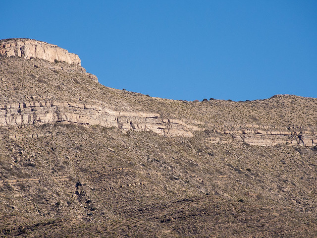 |
| Dry Canyon paraglider launch is in the center on the ridge |
I hit the trail about 9:30am. According to the map it looked like about 600m (2000 ft) elevation gain so I figured an hour and a half to two hours. The first 300m took about an hour. At 400 m I left the trail to head up to the launch on the ridge.
I should have brought my hiking poles. Balancing on loose rubble with cactus waiting to attack would have been easier with more points of support. Eventually I broke off one of the agave stalks to use as a hiking stick.
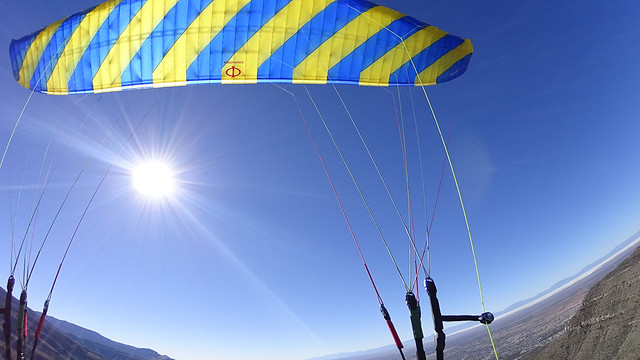
My navigation actually worked out quite well and I hit the ridge only 100 yards from launch. It was almost an anticlimax to arrive. Suddenly I was at the ridge and there was the bare launch area.
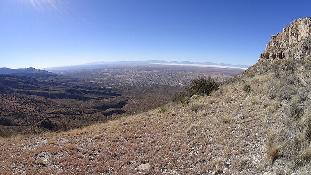 |
| looking down to Alamogordo from launch |
Conditions were currently flyable, and I was more concerned with avoiding the hike down than I was about getting a “good” flight, so I didn't dawdle.
I gobbled down an energy bar and some water while I pulled out my gear. I dressed warmly, almost absurdly for the conditions. But if, by some miracle, I got a longer (higher) flight I’d appreciate it.
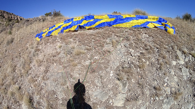 |
| all dressed up and no wind to go |
Everything looked good so I turned and ran off the hill. I probably should have waited for a stronger cycle, but I was anxious to get in the air while conditions were good.

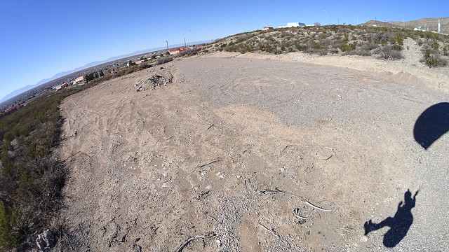
I got a few bits of weak lift on the way down. A couple of times I tried turning in it, but didn’t gain any height.
 |
| looking back towards launch |
 |
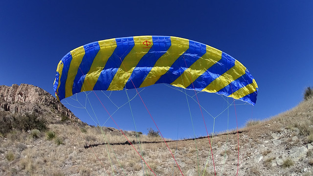
| admiring my new wing |


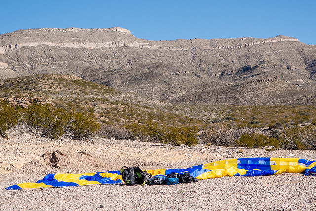
I had a nice soft landing right where I was aiming for.
This flight I decided to set my helmet camera to take one image every second thinking it might be easier to deal with still images than video. But you just end up with a zillion photos so I'm not sure it's any better. On the other hand, the image quality is better than what I could pull from a video.
It took me 140 minutes (2 hrs 20 min) to hike up, and 14 minutes to fly down. It would have been nice to get a little longer flight, but it was a lot better than hiking down!
The locals were impressed with me hiking up - it sounded like no one has been crazy enough to do that before.
Here is the route:
See all 20 photos
No comments:
Post a Comment