Monday, December 26, 2022

Ma-le'l Dunes, Northern California

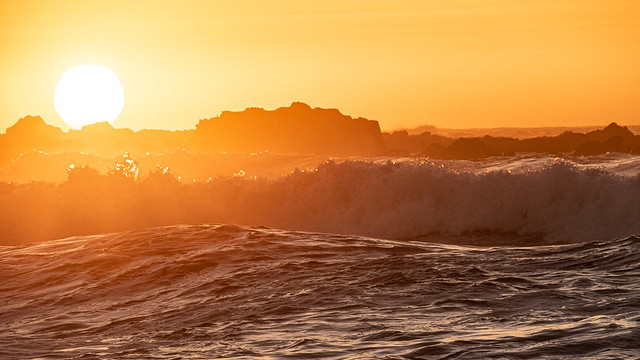
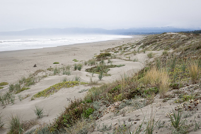
More from the drive home from our last road trip. Scanning the route ahead of us on Google Maps, I noticed a green area on the coast, not far off the highway. According to the website, it's the most pristine remaining dune system in the Pacific Northwest. It was a good spot to get out and stretch our legs and take some photographs.

But before the dunes, here's a Red-shouldered hawk I spotted by our campsite as we were packing up to leave in the morning.

Red-shouldered Hawk

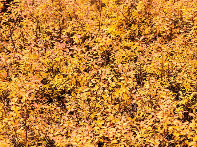
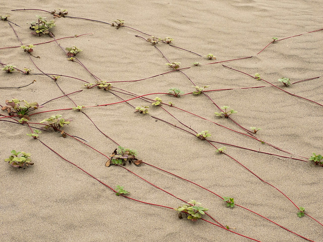
There were some interesting plants on the dunes. I wasn't familiar with any of them. (Except maybe the goldenrod, if that's what it was.) It was the end of October, so it was late in the season, even for the coast.

Seaside Buckwheat ?

Beach Strawberry ?

Seaside Buckwheat ?

Goldenrod ?

Yellow Sand Verbena ?

sand dunes

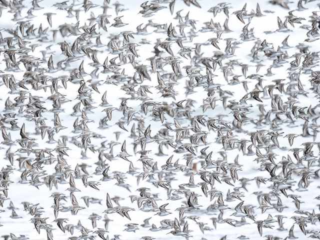
Down on the beach, there was a large flock (aka "grain") of Sanderlings. They are fun to watch, either individually as they run down the beach pecking in the sand, or as a group in flight, where they rival starling murmurations.

Sanderling

Sanderling

Sanderlings

Sanderlings

Sanderlings

Sanderlings

Here's a short video of Shelley's:

This larger, browner bird turned out to be a Marbled Godwit.

Marbled Godwit

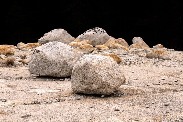
I liked the shapes and patterns of the dunes themselves.

sand dune

sand dune

sand dune

sand dune

sand

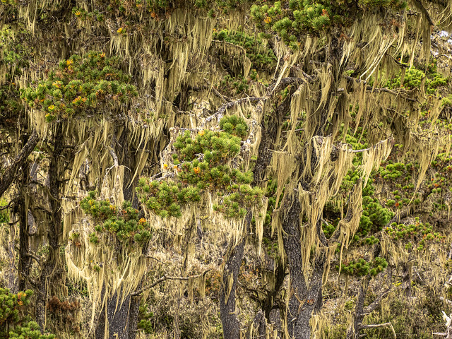
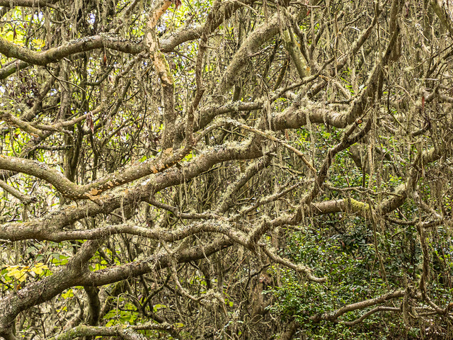
Between the dunes and the estuary there was a strip of lichen covered trees.

lichen on trees

lichen on trees

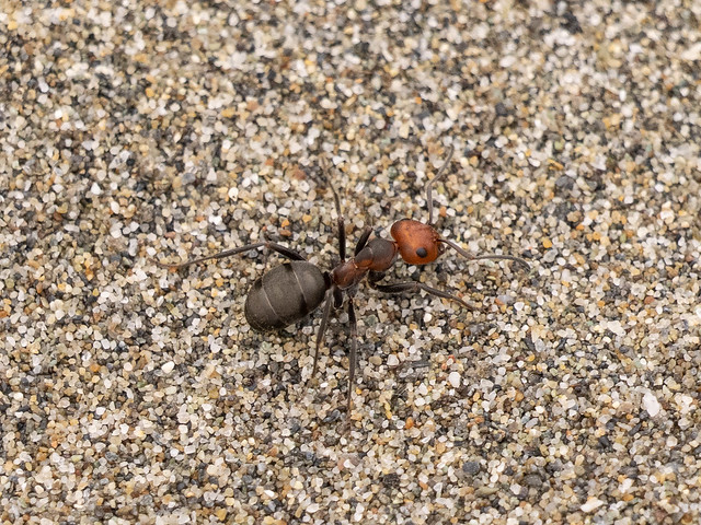
We found several ant nests. Seek's AI thought these were Western Thatching Ants, but the humans on iNaturalist disagreed and only identified them as Field Ants.

Wood Ant

Here's another short video of Shelley's (showing off the capabilities of the Sony RX10m3)

See all 58 photos in this batch

Tuesday, December 20, 2022

Sunset on the Beach

More from the way home from our last road trip. After crossing the Sierras over Tioga Pass via Tanaya Lake, we made our way west, arriving back at the coast at Fort Bragg. (Not to be confused with the military base in North Carolina.) We camped overnight just north of there, at MacKerricher State Park. Stretching our legs after a day of driving, we walked down to the beach just as the sun was going down.

Highway iceplant

I was a little disappointed to identify this plant as invasive Highway Iceplant. But the colors were still pretty in the warm evening light.

Highway iceplant

But mostly it was just the waves and the gradually setting sun.

sunset

sunset

sunset

And the beach itself.

sunset

sunset

See all 30 photos in this batch

Saturday, December 10, 2022

Yosemite Patterns

One of the challenges of driving the west coast is getting past San Francisco without getting funneled into endless freeways. (which are not my idea of a relaxing holiday) On our way home from our last trip we followed the winding Kern river valley and drove north via Lone Pine and Bishop. I hiked up to a paragliding launch near Bishop but the wind didn't cooperate and I ended up hiking back down. From there we took the Tioga pass road back towards the coast through Yosemite National Park. We hadn't driven this way before and it was nice to get a different view of the park. Yosemite Valley is impressive but too touristy for me. We didn't have a lot of time left, and the weather was rainy and probably soon to be snow, but we stopped to stretch our legs at Tenaya Lake.

I had recently read The High Sierra: A Love Story by Kim Stanley Robinson (recommended) so it was interesting to actually be there. The mountains are very different from the Rockies.

lake & mountain

Sierra scene

There were still the usual suspects around though.

chipmunk

squirrel

Most of my photographs from here were patterns in the rock and vegetation.

granite

grass

fall colors

fall colors

bark

forest floor

tree roots

lichen

granite

See all 24 photos in this batch