When we moved to Victoria I started looking for trails to run and I found a documentary on the Finlayson Arm trail races. (Check out the video to get an idea of the terrain.) I wasn’t interested in entering the race itself but I was curious about the route. Using parts of that race route plus other trails I pieced together a long trail run, staring at Goldstream, going north over Holmes and Jocelyn peaks, then south up and over Mt. Work, and then to Thetis Lake. From there it was another 10 km home on the Galloping Goose trail.
Shelley and I gradually explored the route in a series of weekend outings where Shelley would hike and I’d run a section of my route out and back. The trails are a lot hillier than my usual routes around Victoria and the first few outings were a bit rough on my legs. But after a few sessions my legs got more accustomed to it. Finally, as a dry run I ran the second half of the route, up and over Mt. Work to Thetis Lake and back home. That went well and I figured I was as ready as I was ever going to be.
Shelley dropped me off at the start (the Goldstream campground) and I got away at 9am. I chose to go around Mt. Finlayson instead of up and over since I didn’t want to punish myself too much right off the start.
Four hours later ...
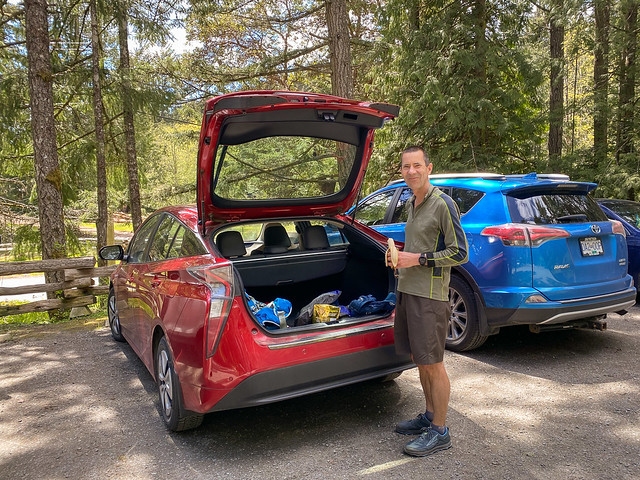
Shelley met me halfway (on Munn Road) so I could refill my water and restock with bars and gels. I had a slight headache when I reached the car. Not knowing the cause I gobbled water, food, salt, caffeine, and acetaminophen. One or more of those seemed to do the trick and the headache went away. I stayed in good spirits the whole way, so I must have been getting enough calories and burning enough fat to keep my blood sugar up.
On the second half I stubbed or snagged my toes several times on the rocks and roots and came very close to wiping out. With my legs getting tired I likely wasn’t lifting my feet as much. And I might have been losing my attention a bit too. The last thing I wanted was to damage myself so I worked on staying focused.
Originally I thought the route was 50 km but I had measured it wrong and it was closer to 40. I added a bit at the beginning and it looked like 43 km. In the end it turned out to be 45 km which was a nice round number. (50 would have been an even nicer round number, but my legs were happier to not have an extra 5 km.)
I carried two 500 ml soft flasks in my running vest. With one refill halfway, that was about right. The cooler weather helped not getting dehydrated. I put Tailwinds in my water for electrolytes and calories. I averaged an intake of about 200 calories per hour. As expected, my appetite dropped in the second half but I still managed a couple of gels and a UCAN bar. I used the tracking on my inReach mini so Shelley could follow where I was. I carried my phone, but there isn't service everywhere. I also carried a rain jacket and wind pants. It wasn't a lot to carry, but it was enough to run with for that long.
On these trails I depend heavily on the map and route on my watch (Garmin Fenix 7). There are lots of little trails and it's very easy to take a wrong turn. A paper map, or even using my phone would have been a lot harder and slower. With my watch I just had to glance at my wrist to see which way to go, and to confirm I was on route. From an orienteering perspective it's cheating, but from a running perspective it was great.
I originally guessed / hoped for about 7 hours for 43 km. It ended up being 7:20 for 45 km (6.5 hrs moving) which was pretty close. I was slower on the first half because it’s a lot hillier, and faster on the second half, especially the final 10 km of pavement. My slowest kilometer was 14 min slogging up Mt. Work and my fastest was 5:30 min on my final kilometer "sprint" to the finish.
My legs were sore the next day, but other than that I was remarkably unscathed - no blisters, no knee or hip problems. Not bad for 62. Trails are often easier on you than pavement - you're going slower, and there's more variety and less pounding. Overall it was a fun day.


No comments:
Post a Comment